Behind Dubai's launch cycle sits something less exciting and more important than any brochure: a twenty-year statutory framework called the Dubai 2040 Urban Master Plan. It is the document that decides where density is allowed, where transport gets built, where beaches and parks go, and which parts of the city the government intends to spend money on for the next two decades. Developers read it before they buy land. Very few buyers read it before they buy a unit.
This guide explains what the plan actually contains, how a master-plan designation transmits into property value through real mechanisms rather than sentiment, and — the part most coverage skips — where the plan gives you no protection at all. If you want to look at live stock alongside the reading, you can browse off plan Dubai projects by community and developer.
What the Dubai 2040 Urban Master Plan is
It is a spatial plan, not a marketing campaign. A spatial plan allocates land use, sets density limits, reserves corridors for infrastructure and defines where growth is directed over a stated horizon. Everything downstream — zoning approvals, plot ratios, road and metro alignments, public-realm budgets — is supposed to conform to it.
The headline targets
The plan works toward a population of 5.8 million by 2040. It commits to doubling green and leisure areas, expanding beaches by 400%, applying a '20-minute city' policy to daily needs, and delivering the Metro Blue Line. Those four commitments are not decoration. Each one is a lever that changes how a specific piece of land performs.
Why a twenty-year horizon matters more than a launch cycle
Off-plan buying is an exercise in forecasting a place you cannot yet stand in. Most of the inputs available to you are short-horizon: this quarter's launches, this year's rents, this developer's current discount. A twenty-year plan is one of the very few long-horizon inputs that is public, specific and backed by the entity that controls the approvals. It does not tell you what a unit will be worth. It tells you where the state has said it intends to build a city.
The five urban centres and what designation actually does
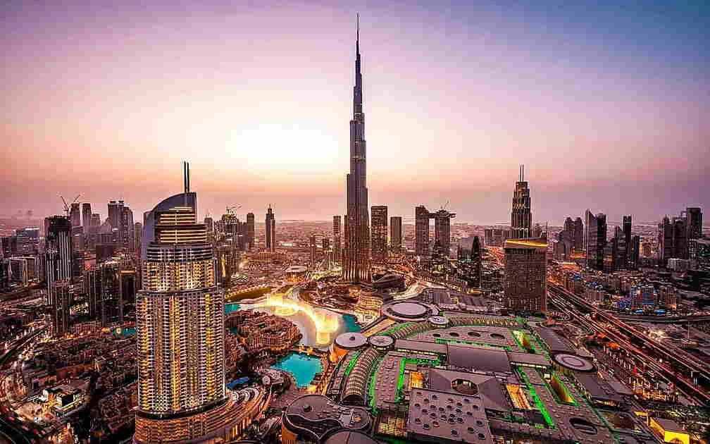
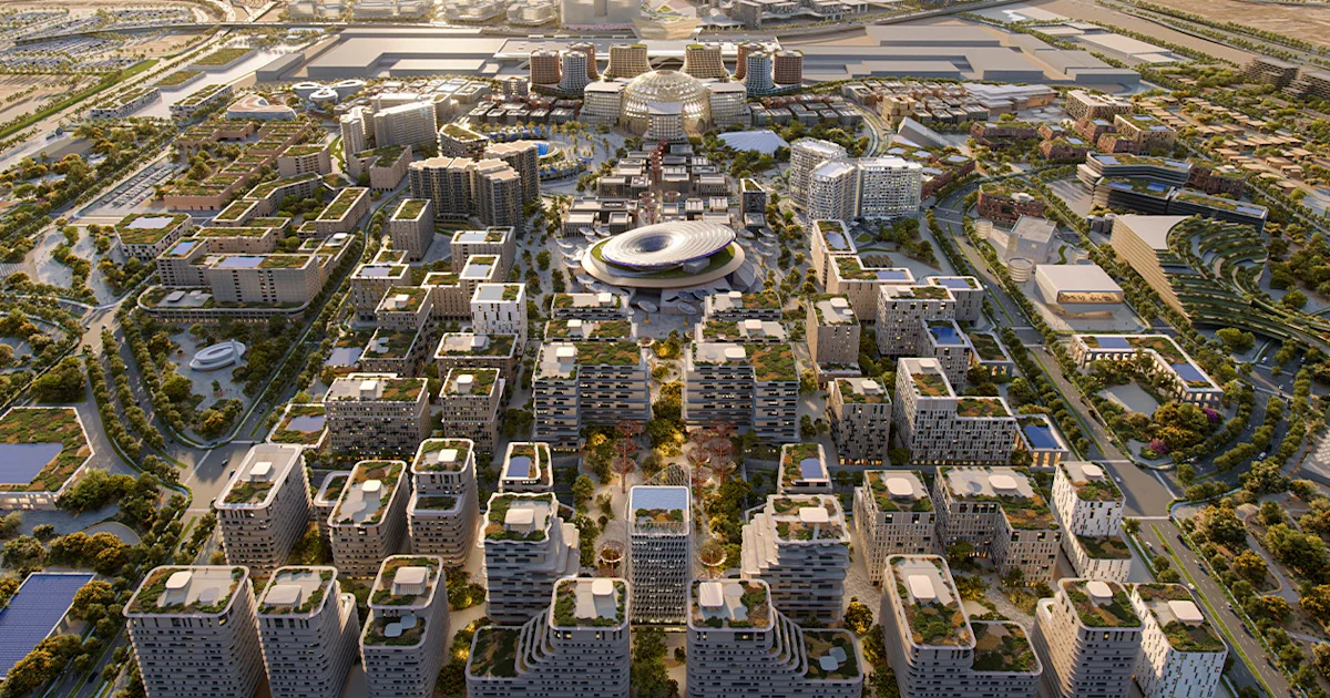
The plan designates five urban centres: Deira and Bur Dubai, Downtown with Business Bay and DIFC, Dubai Marina and JBR, Expo City Dubai, and Dubai Silicon Oasis. Two of those are historic, two are the current commercial core, and one — Expo City — is the deliberate southward push.
Designation is a promise about density and infrastructure
An urban centre is where the plan concentrates jobs, transport interchange and mixed-use density. That produces a specific chain: employment concentration creates commuter demand, commuter demand justifies transport spending, transport spending raises the value of everything within walking distance of a station, and higher land value pulls in the retail and F&B that make a district liveable. None of that is guaranteed to arrive on schedule, but each step has a visible trigger you can watch for.
The mature centres versus the growth centres
The distinction matters when you choose where to buy off plan. Downtown, Business Bay and Dubai Marina are already what the plan says they should be. Designation there is confirmation, not transformation — it protects the position rather than creating it. You pay a mature price and you get a mature rental market with a deep tenant pool.
Expo City and Dubai Silicon Oasis are different bets. There the designation is doing forward work: it signals that density and infrastructure are intended to arrive, which is precisely what has not fully happened yet. The upside is larger because the current price does not embed a completed district. The risk is that you own a finished apartment in an unfinished neighbourhood for longer than you planned. That is a real cost — weaker rents, a thinner resale pool, and a service charge you pay every year regardless.
The southern corridor
Expo City anchors the southern half of the map, and it pulls Dubai South and Emaar South into the same story: airport-adjacent, logistics-adjacent, and priced well below the northern centres. If you believe the plan's population target, the south is where a meaningful share of those people have to live, because the northern coastal strip is largely built out. If you don't believe the timeline, the south is where you wait longest for a tenant who pays well.
The 20-minute city policy and why it is the most consequential line in the plan
The '20-minute city' idea is that a resident should reach 80% of daily needs — school, clinic, groceries, a park, transit — within a 20-minute walk or cycle. It reads like a lifestyle slogan. It is actually a planning constraint with financial consequences.
The mechanism: amenity within walking distance is capitalised into rent
Tenants pay for convenience whether or not they describe it that way. A community where a household can live without a second car commands a rent premium and, more importantly, holds that premium through soft markets, because the alternative for the tenant is materially worse. That premium is what gets capitalised into the sale price when you exit. The policy commits the city to producing more of those communities, which is good for owners inside them and neutral-to-negative for owners in car-dependent pockets that never get retrofitted.
How to test a project against it before you sign
Open a map, drop a pin on the plot, and walk it in your head. Is there a school, a supermarket and a clinic within a real 20-minute walk — not a 20-minute walk that crosses a six-lane arterial with no crossing? Is there a metro station or a credible planned one? Communities like Jumeirah Village Circle and Dubai Hills Estate were designed with internal amenity from the start; many towers on the fringe of Dubailand were not. The plan will improve some of the latter. It will not improve all of them, and it does not say which.
Metro Blue Line: the one infrastructure item with a direct price mechanism
Transit is the cleanest link between public spending and private property value, because it changes something measurable: the time cost of living somewhere. Reduce a commute by 25 minutes each way and you have handed every household in walking distance of that station roughly two hours of their week back. They pay for it in rent.
The value curve is steep and short
The premium attaches to walking distance, not to the district. A tower five minutes from a station captures most of it. A tower twenty-five minutes away captures almost none, even in the same community with the same postcode. When a developer's brochure says 'metro-connected', find out what that means in metres.
Announcement, construction, opening — three different price events
Infrastructure prices in three stages, and buying at the wrong one is how people lose the trade. The announcement produces speculative movement. Construction produces disruption — noise, hoardings, road closures — and sometimes a dip. Opening produces the durable re-rating, because that is when the commute actually shortens. Off-plan buyers who buy after the announcement and hand over near the opening are, structurally, in the best position. Buyers who pay an announcement premium on a project completing years before the line opens have paid today for a benefit they will fund the carry on.
Green space, beaches and the amenity-scarcity argument
Doubling green and leisure areas and expanding beaches by 400% sounds like civic garnish. Read it as supply policy for scarce amenity. Right now, waterfront and park frontage is scarce, and scarcity is what Palm Jumeirah and similar addresses charge for.
The uncomfortable implication for existing waterfront owners
More beach means less scarcity. If the city delivers four times the beach it has today, the premium attached to being one of the few people with beach access must, at the margin, compress. That does not make existing waterfront a bad asset — location quality, build quality and address recognition all persist — but the honest reading is that the plan is bullish for the city and mildly dilutive for the specific rent that early waterfront owners have collected on exclusivity. Anyone telling you a 400% beach expansion is unambiguously good for every beachfront unit has not thought about which side of the supply curve they are on.
Where it is straightforwardly positive
New green and leisure areas are strongly positive for the communities that receive them, and the plan directs them toward density — which means the urban centres and the corridors between them. A park delivered next to an existing tower is close to a free upgrade for the owners of that tower.
What the master plan does not do
This is the section that most articles about the 2040 plan omit, and it is the one that protects your money.
It is not a delivery guarantee
A plan states intent over twenty years. Twenty years is long enough for oil cycles, global rate cycles, and two or three property cycles. Items get resequenced. Alignments shift. A corridor drawn on a map today is not a station outside your building on a date certain. Treat every dated infrastructure promise in a sales pitch as an assumption, not a fact, and ask what your return looks like if it lands five years late.
It says nothing about your developer
The plan governs the city. It does not build your tower. A project inside a designated urban centre, on a metro alignment, next to a planned park, can still be delivered two years late and finished badly, or not finished at all. The escrow framework protects your instalments against diversion; it does not protect your timeline or your quality. Location due diligence and developer due diligence are two separate exercises and you have to do both — our guides on off-plan risk in Dubai and escrow and deposit protection cover the second one.
It does not price anything for you
Master-plan status is public information. Everyone selling you a unit inside an urban centre already knows it, and the price they quote already reflects it to some degree. The plan is useful for avoiding the wrong locations and for stress-testing a hold period, not for finding a mispriced one. Where it earns its keep is in the negative: it tells you when a project sits outside every growth corridor the city has committed to, which is a question the brochure will never raise.
How to use the plan when you buy off plan
Turn it into four questions you ask about every project before you sign, and be willing to walk if the answers are weak.
- Is the plot inside, adjacent to, or outside a designated urban centre or growth corridor? Outside is not disqualifying, but it means your return has to come from the building and the price, not from the city.
- What is the walking distance to daily amenity and to existing or committed transit — in metres, on a map? Not 'minutes' as quoted by a sales agent.
- What is my hold period, and what happens to my numbers if the infrastructure slips by five years? If the case only works when everything lands on time, it is not a case.
- Am I paying today for a benefit that arrives after my exit? If so, you are funding someone else's capital gain.
Then check the answers against real stock rather than theory. Our new launches feed shows what is coming to market, and the full project list lets you filter by community so you can see which developers are actually building inside the corridors the plan describes. Location strategy and payment structure interact, too: a longer plan buys you time for the infrastructure to arrive, which is why our payment plan guide is worth reading alongside this one.
Frequently Asked Questions
Does buying inside one of the five urban centres guarantee capital appreciation? No. Designation improves the odds by directing infrastructure spending and density to those areas, but it is public knowledge that is already partly reflected in asking prices. Appreciation still depends on what you paid, who built it, and what the market does over your hold period.
What are the five urban centres in the Dubai 2040 plan? Deira and Bur Dubai, Downtown with Business Bay and DIFC, Dubai Marina and JBR, Expo City Dubai, and Dubai Silicon Oasis. The first four are established or established-adjacent; Expo City anchors the planned southern expansion.
Should I buy near a planned Metro Blue Line station before it opens? Potentially, but check the timing. The durable price re-rating happens when a line opens and commutes actually shorten, not when it is announced. If you pay an announcement premium and complete years before opening, you carry the cost of that gap yourself.
Does the 2040 plan reduce off-plan risk? It reduces one kind of risk — the risk that your community never receives infrastructure or density — by telling you where public investment is directed. It does nothing about developer risk, delivery delay or build quality, which are the risks that most often cost buyers money.
What does the 20-minute city policy mean in practice for a buyer? It means the city intends residents to reach most daily needs within a 20-minute walk or cycle. For you, it is a test to apply now: if a project's nearest supermarket, school and clinic are only reachable by car, you are relying on the policy to fix that later, and the plan does not name which places it will fix.
Is the 5.8 million population target relevant to my purchase? Indirectly. It is the plan's demand assumption, and it implies that a large amount of new housing must be built and absorbed somewhere. It supports the long-term case for the growth corridors, but it says nothing about supply and demand in any given year, which is what determines your rent at handover.